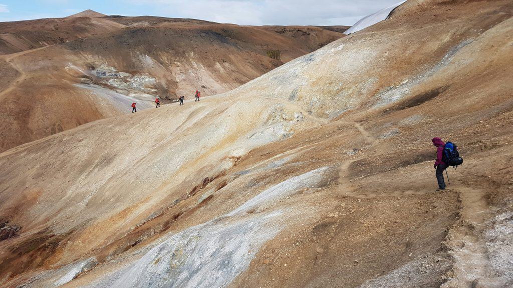
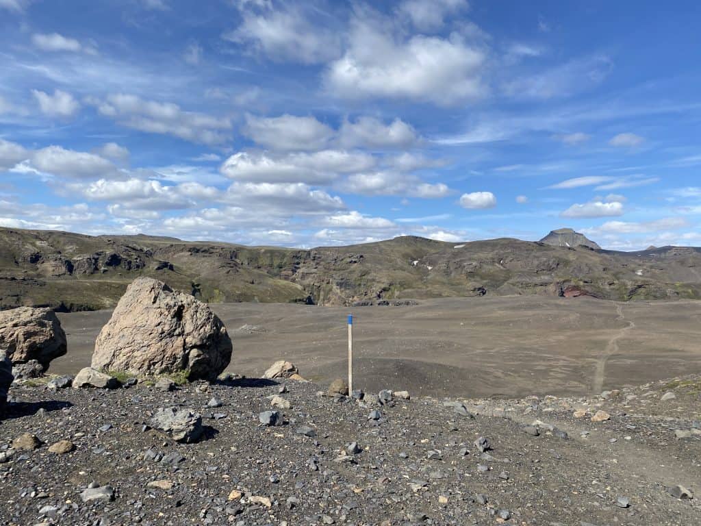
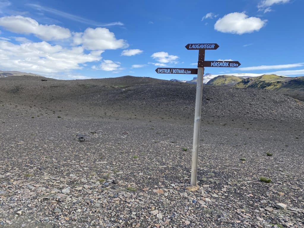
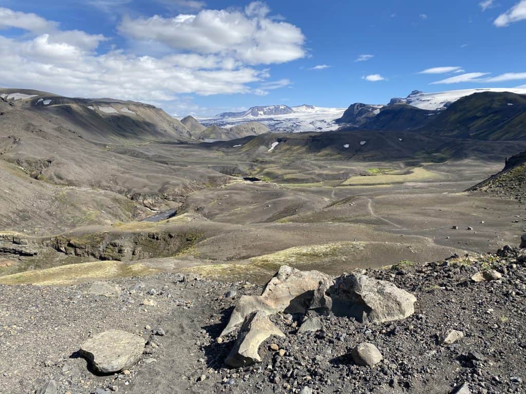
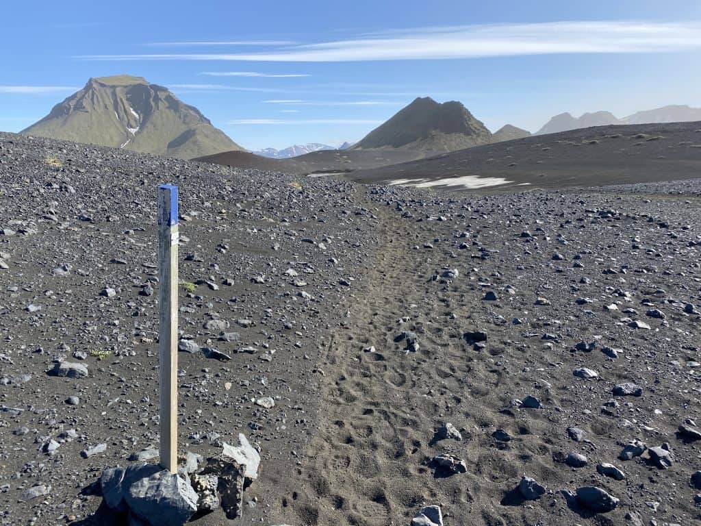
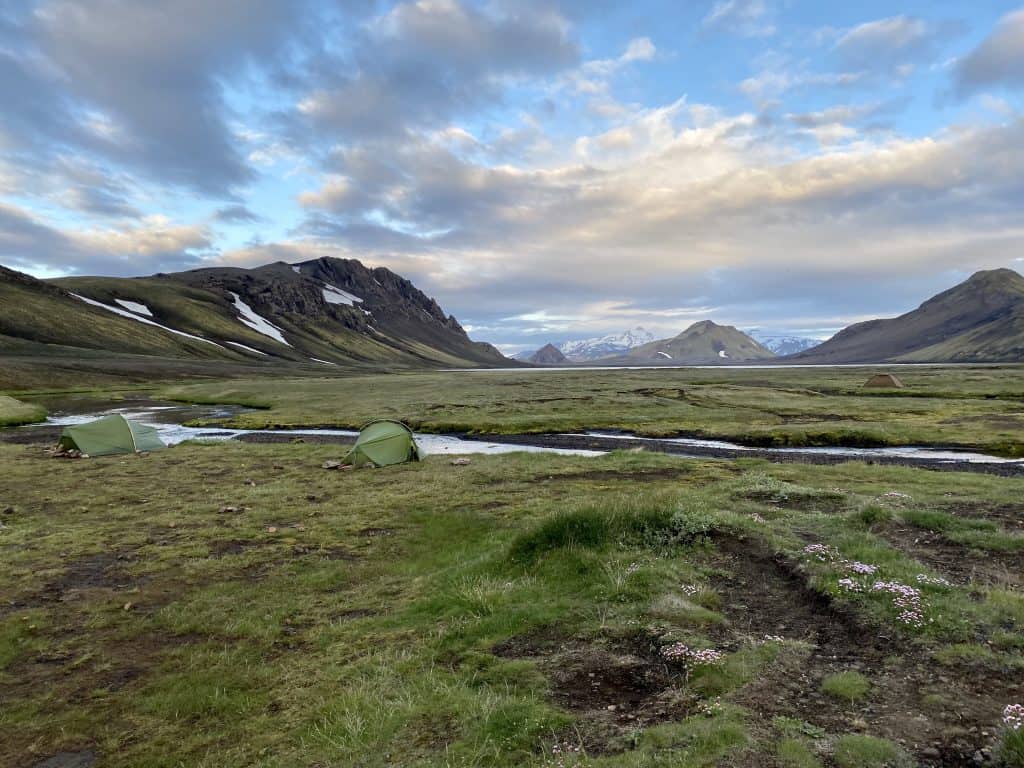
We already wrote here about the Fimmvörðuháls trail that led us to these two beautiful parts of the Laugavegur trail. We will continue with day 2, on our way to the Emstrur mountain hut, through a landscape comparable to the moon.
The Swiss and Germans who also walked the route in this ‘reverse’ direction left a lot earlier than I did. I love seeing all those morning scenes at the campsite and I like to take it easy. There is plenty of time – hey, you’re in Iceland!
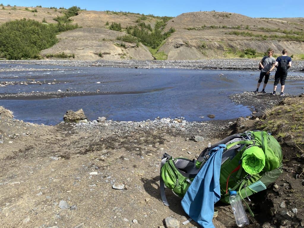
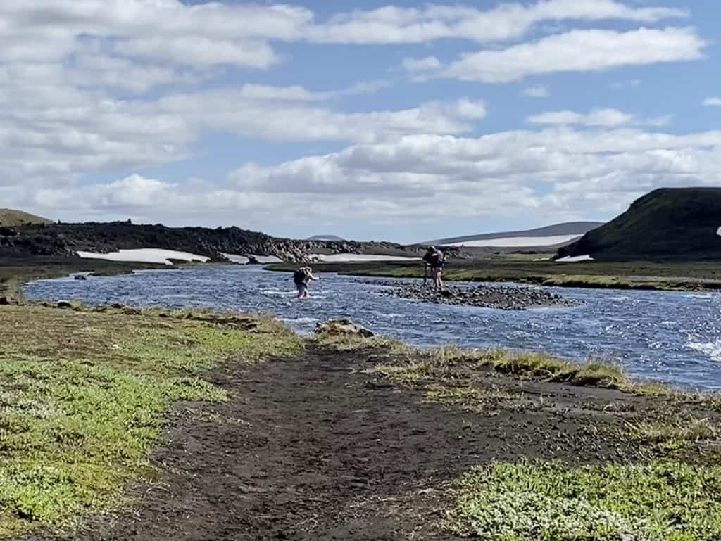
The day starts with a climb through the green Þórsmörk with beautiful views and a (first) river crossing. The ice-cold glacier water does not yet reach the knees. But this is still exciting, however, if you slip and your dry things end up in the water, it is no fun. Fortunately, it worked fine with my Crocs… yes, yes, I know 😉

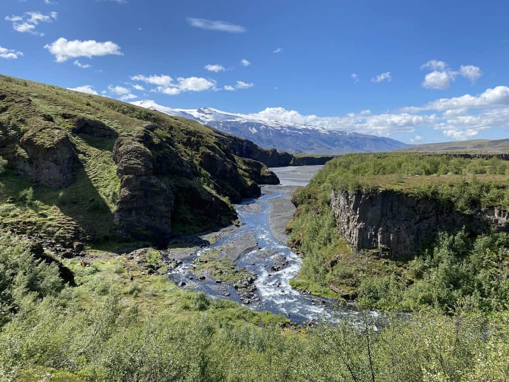
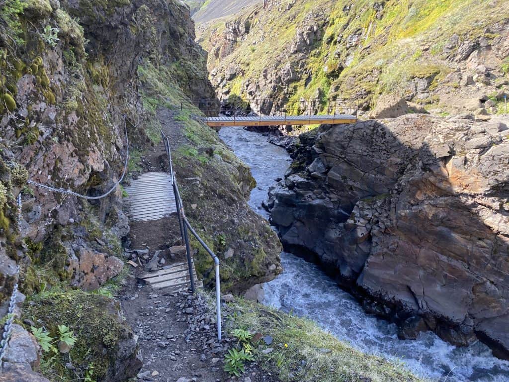
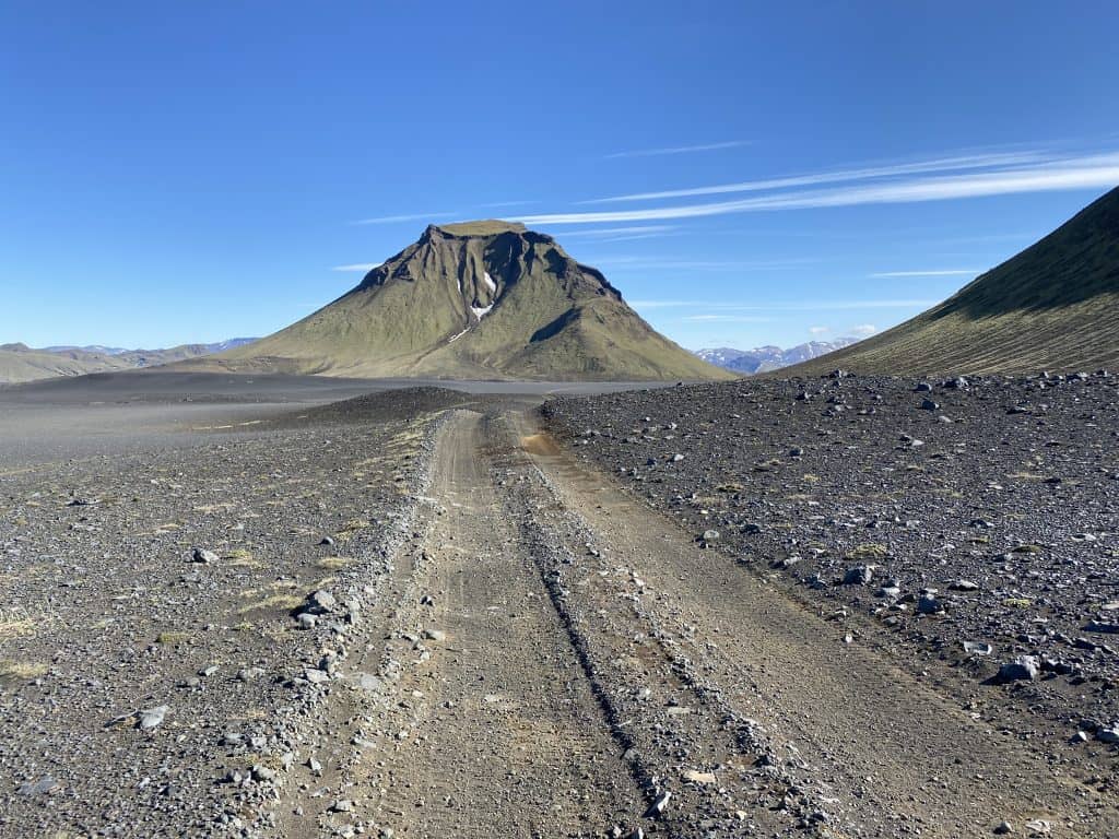
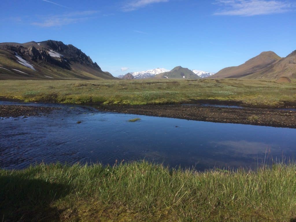
Today’s 16 kilometers are beautiful, partly due to the gorgeous weather. Moonscape alternates with lovely rivers and areas of greenery. However, at the end of the stage, a few climbs are still waiting for me. Especially the last kilometer has a not-very-pleasant scree slope to overcome. Oh well, I’ve forgotten that scary bridge and those chains along that swirling river just now. Arriving at Emstrur, 16.2 km and 620 meters of altitude later, that beer tastes great!

After a wonderful night’s sleep, I leisurely pack my things. Wow, it’s so hot when I start a short climb from the hut. I soon end up on a gray stone plain and the German overtakes me with long strides. Gosh, should I have left earlier? My phone has reached me and I have to get to work straight away because of a booking and some questions in the email. Can you enjoy that in the sun with views of snow-capped mountains? We’re used to ‘working from home’ by now, right?
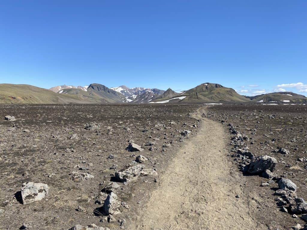
This stretch is also about 16 kilometers long but only has an elevation gain of 290 meters. Quite relaxed, although it also includes the toughest river crossing of all stages. Once I reach the other side via an island, there are a few rocks that are the ultimate drying and lunch spot. I sit and enjoy for an hour after applying more cream.
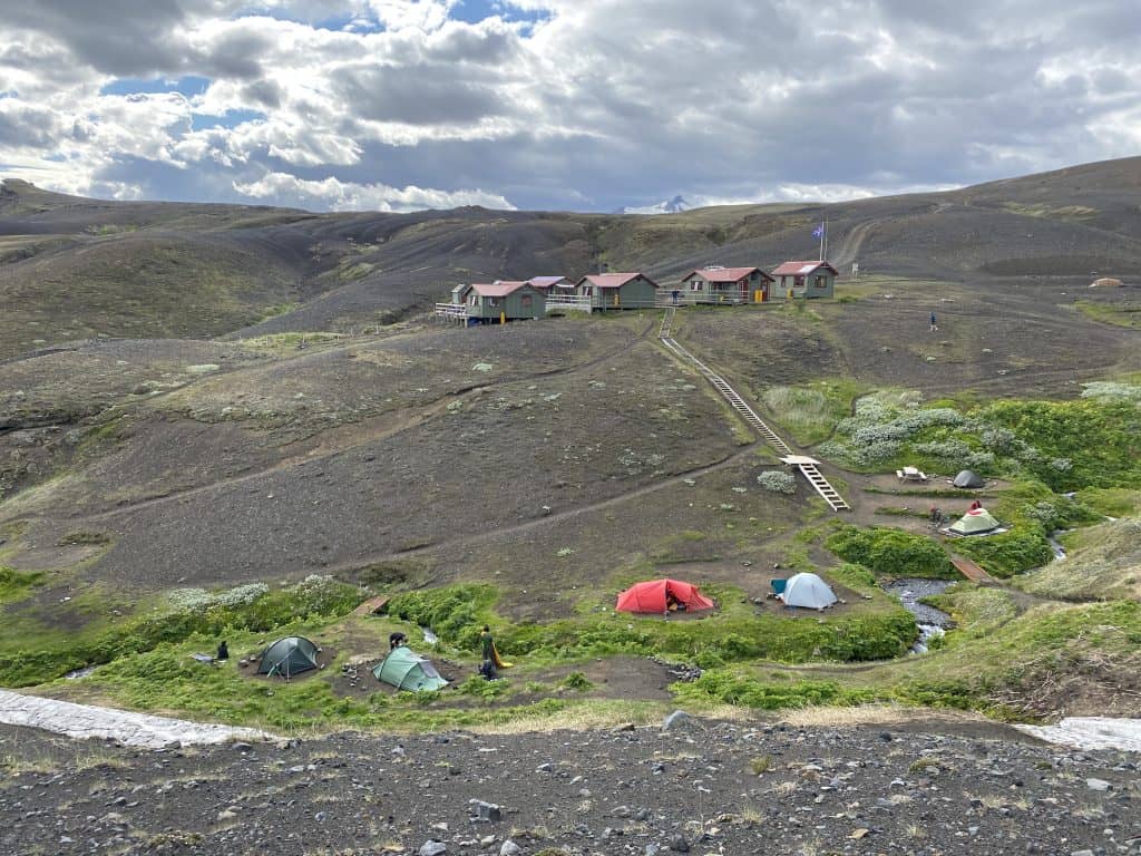
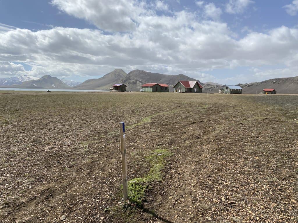
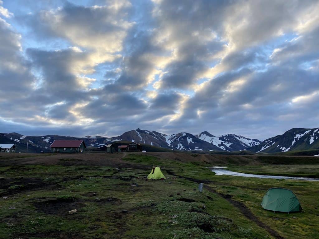
The large cabin and campsite are located in an open area on the lake. The wind is blowing hard, but I manage to set up my tent in the rared windless moments. I meet nice new people here, who all go in different directions. There is barter between me and a Hungarian, I borrow his power bank and he gets an Adventure Food meal from me. Then we stick together a leaky sleeping mat from the Spaniards who just arrived. Life is beautiful and like-minded people here do not look at boundaries or origins but help each other when necessary.
That’s how it should be.
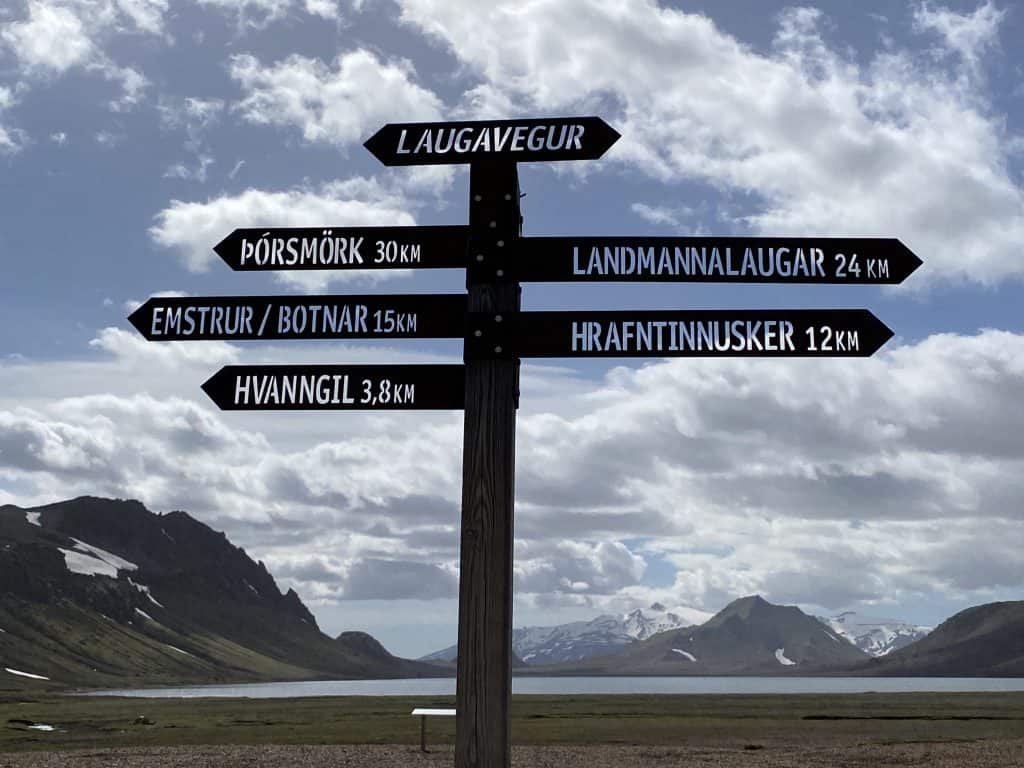
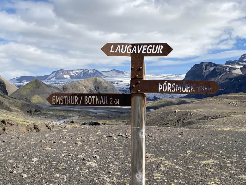
Here you continue to the stretch to Hraftinusker and of course the icing on the cake, the amazing stage to Landmannalaugar.