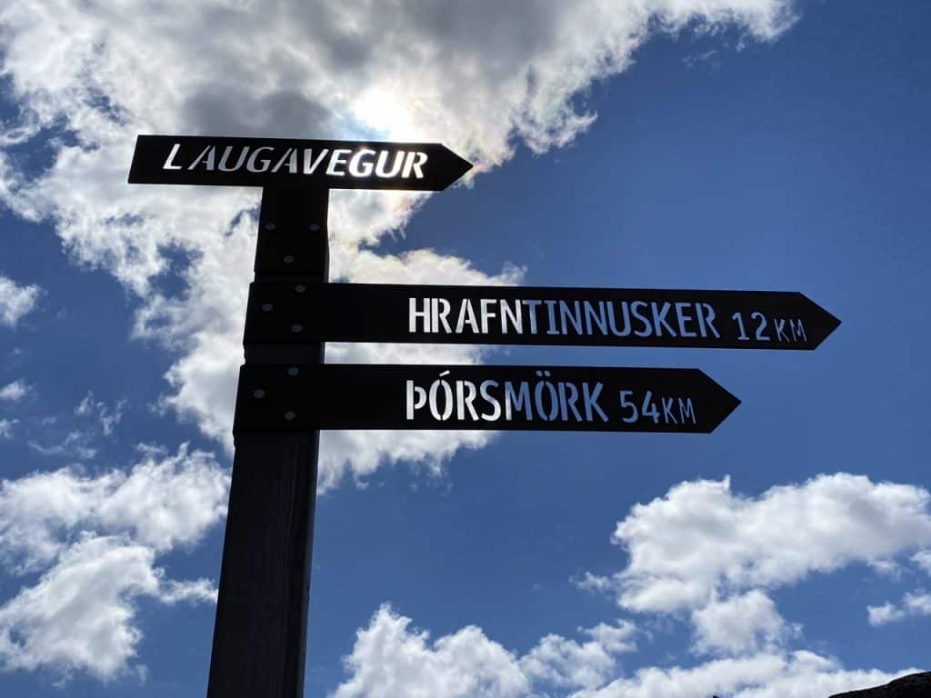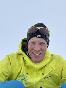
This is the third and final part describing a multi-day hike on the famous Laugevegur trail.
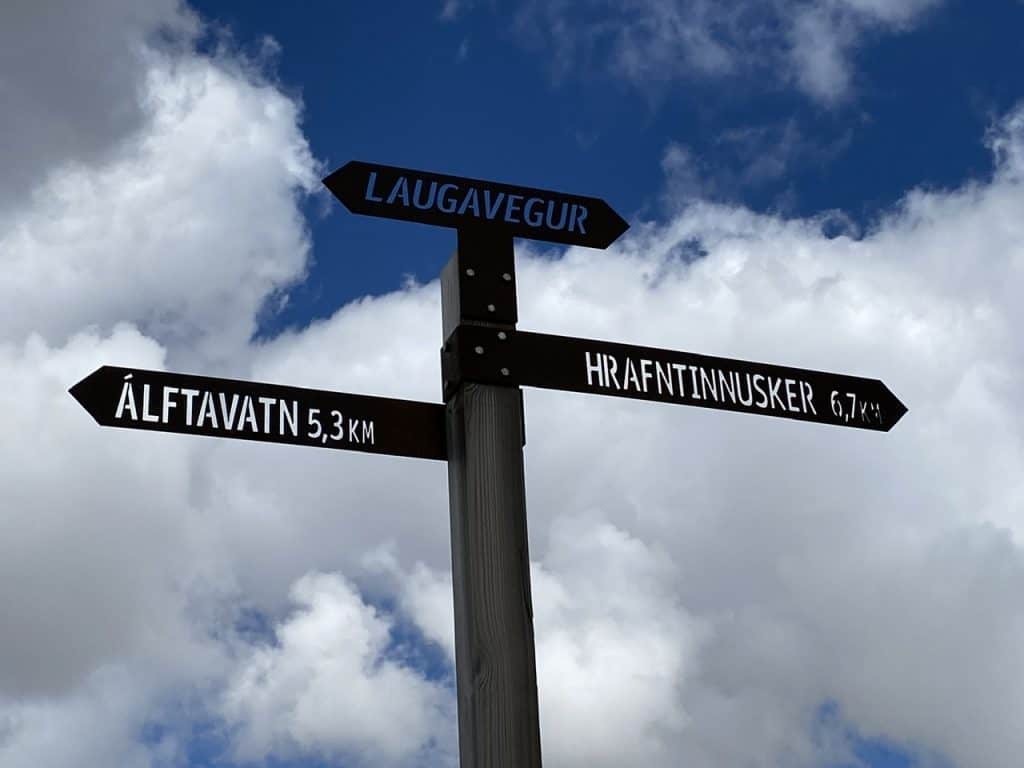
I know what I’m getting into this morning, it seems I have to suffer today. Well, sulking about it makes no difference. After waving goodbye to everyone at the campsite, I start the 12 kilometers to Hrafntinnusker.
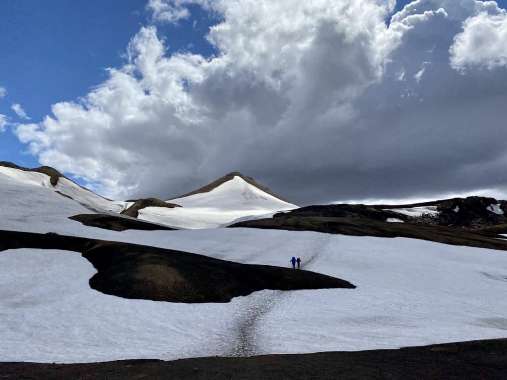
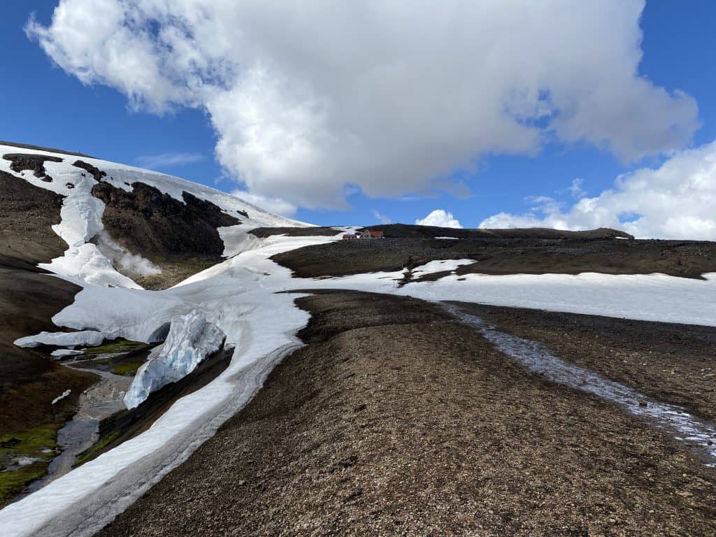
I walked this stage at an average pace of 2.7 kilometers per hour, as I would later see on my GPS. It has to do with a huge steep mountainside. After 4 kilometers of just warming up the muscles, there is a river that I have to cross. The snow bridge over it looks as if it could collapse at any moment and I cannot reach the steel cable stretched across the river. But I find my way over a safe-looking snowfield and partly over large boulders in the river.
Success!
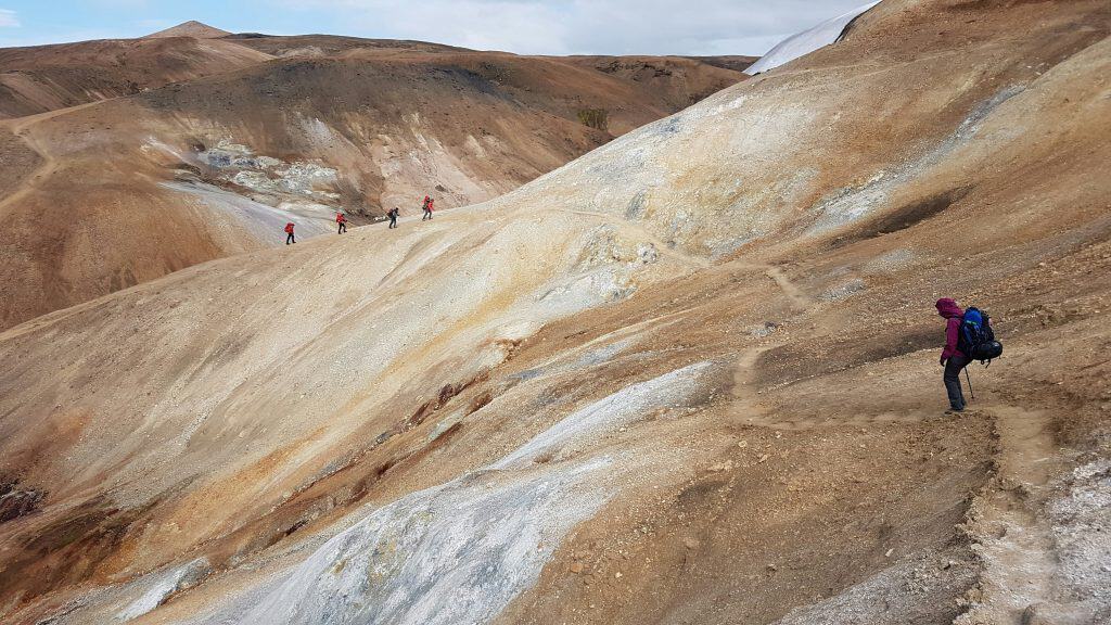
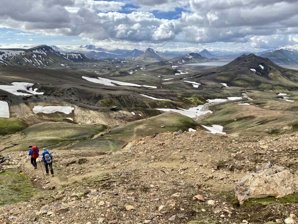
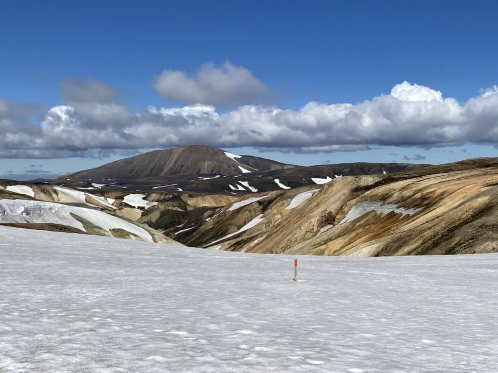
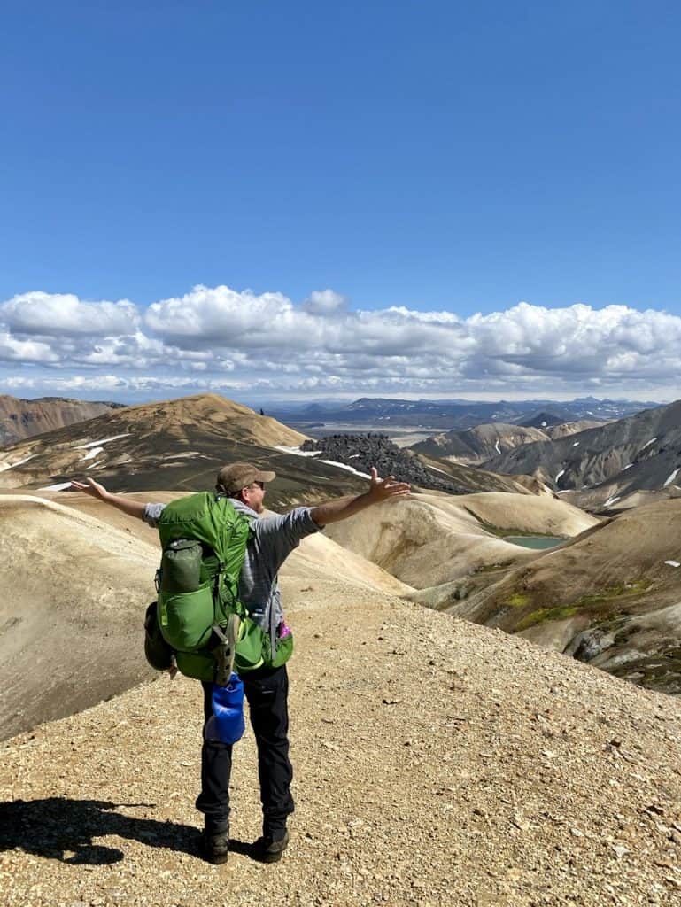
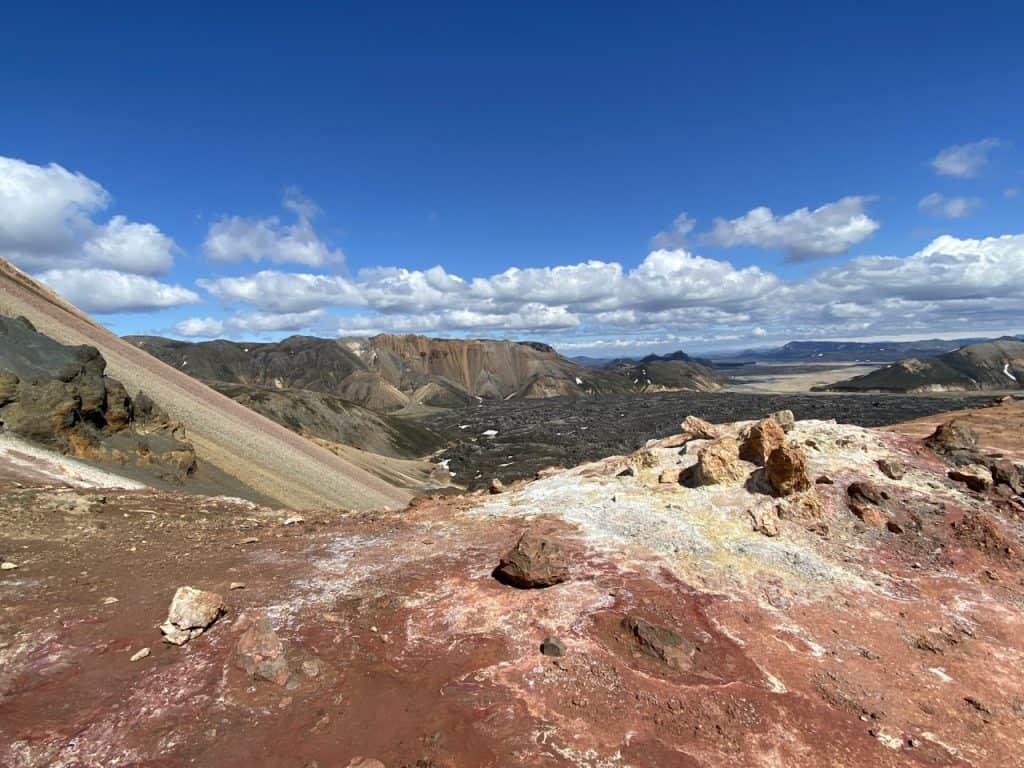
Now I have to climb those few hundred meters of steep slope. It’s tough and takes me an hour, but as you can see in the photo above, the view is phenomenal!
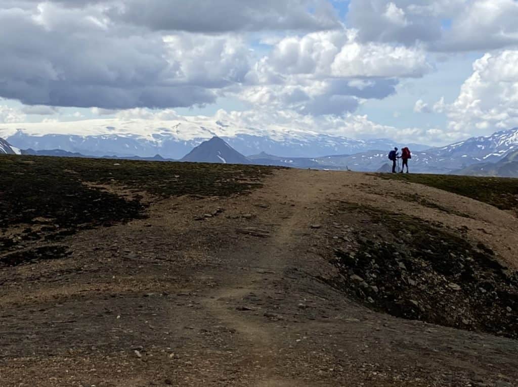
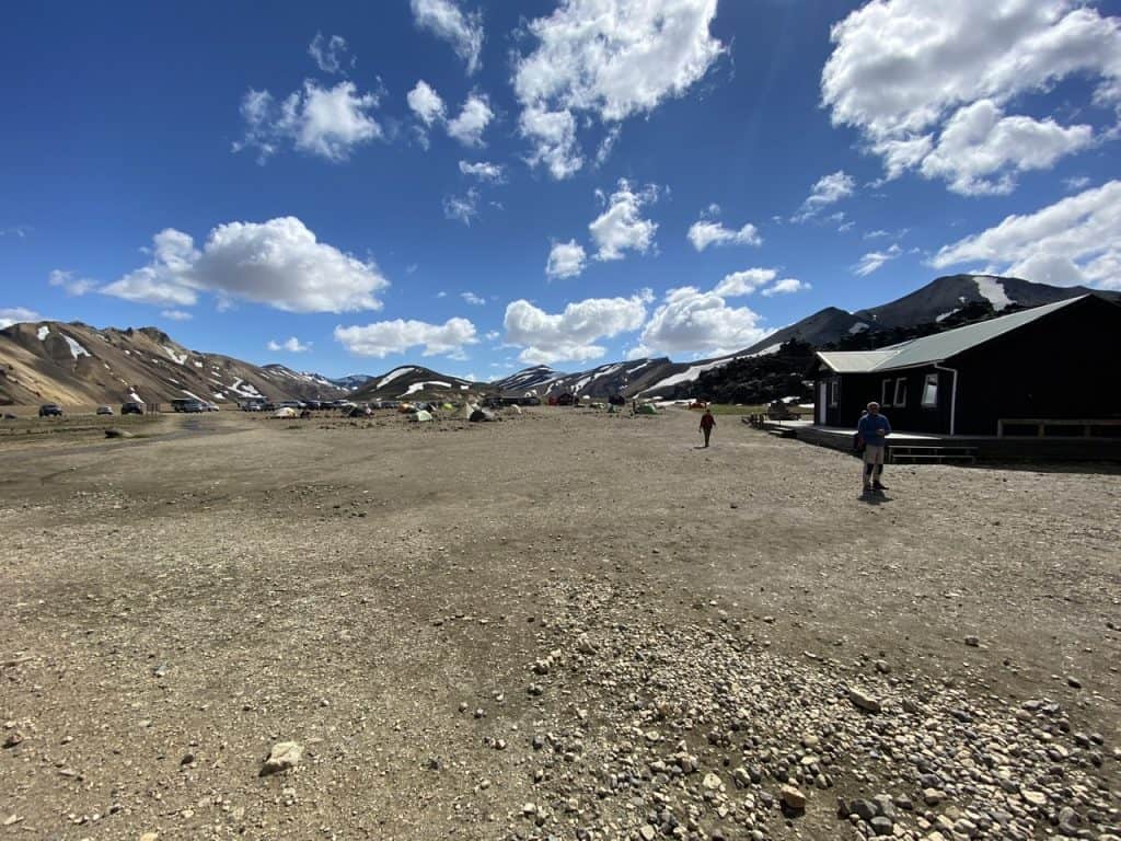
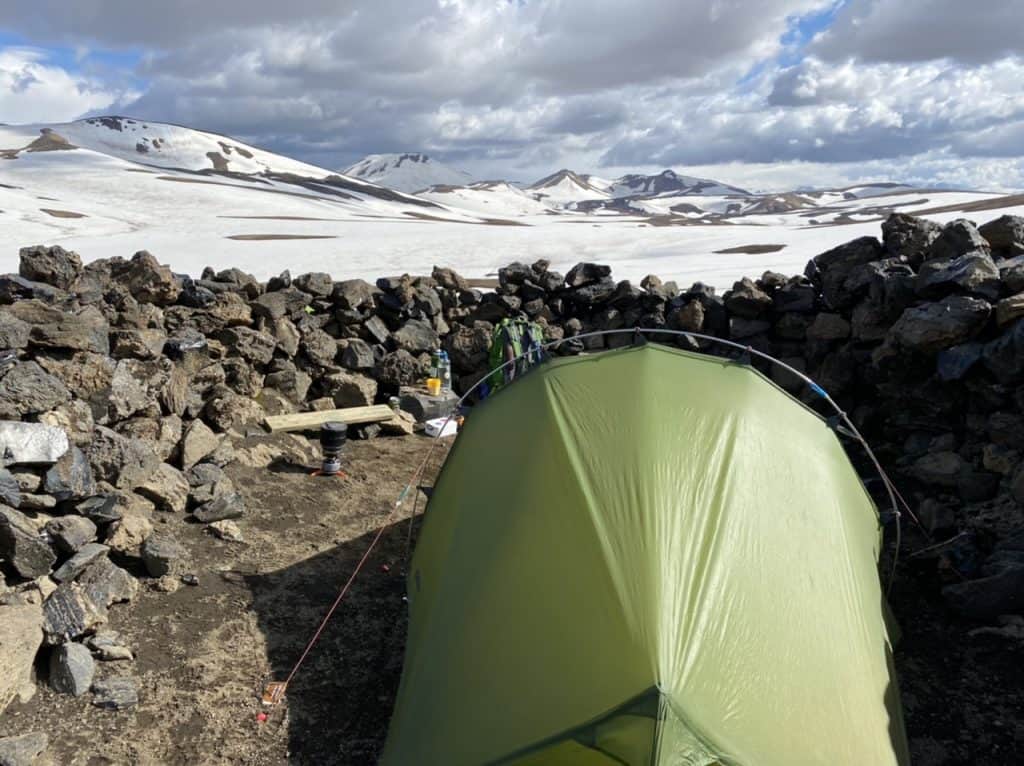
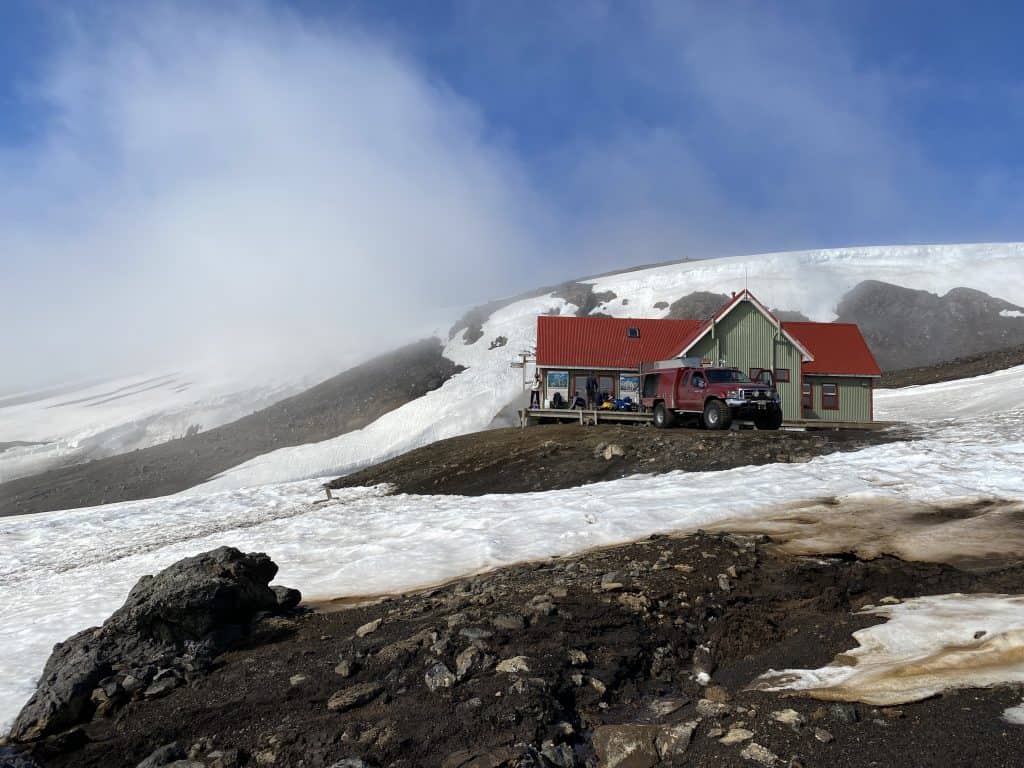
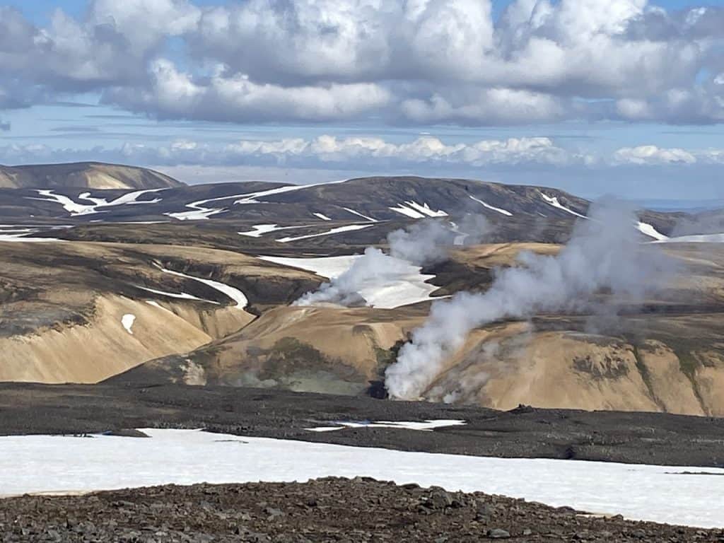
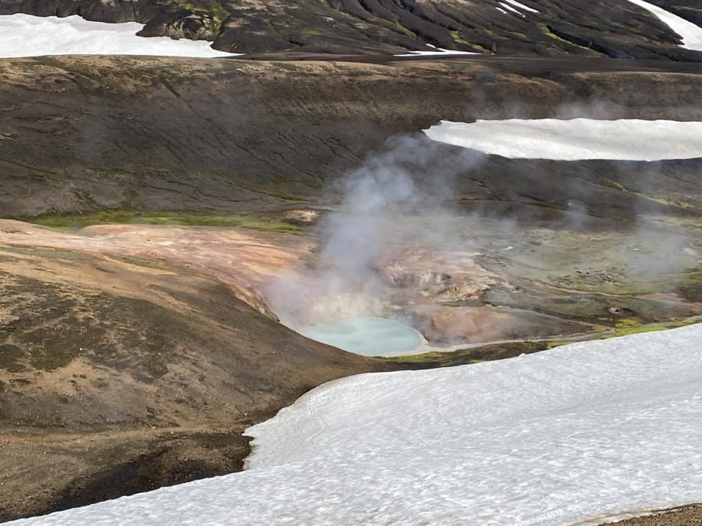
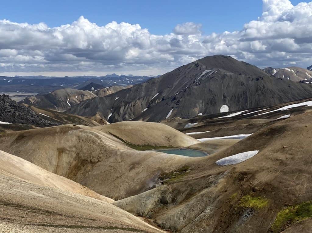
The colors get more and more vivid through this stage. I see the hut far in the distance, another 5 kilometers across the many snow fields. For a moment I think it’s going to rain, but luckily the cloud just blows past me. At the hut, I find a nice spot between the rocks just before a huge group of Dutch people arrive from Landmannalaugar. It’s nice to be able to talk in my native language again.
I have walked part of this stage before. I kind of know what to expect. Sometimes it is a shame that I know Iceland so well and have been to many places. The Swiss and the German were euphoric about the landscape. Me too, of course, but I have been coming here for many years and know almost every walking route here.
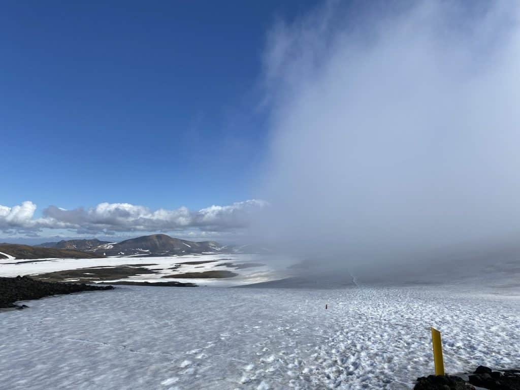
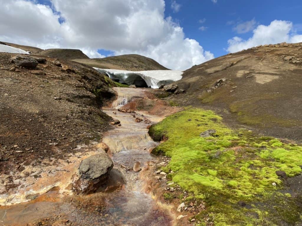
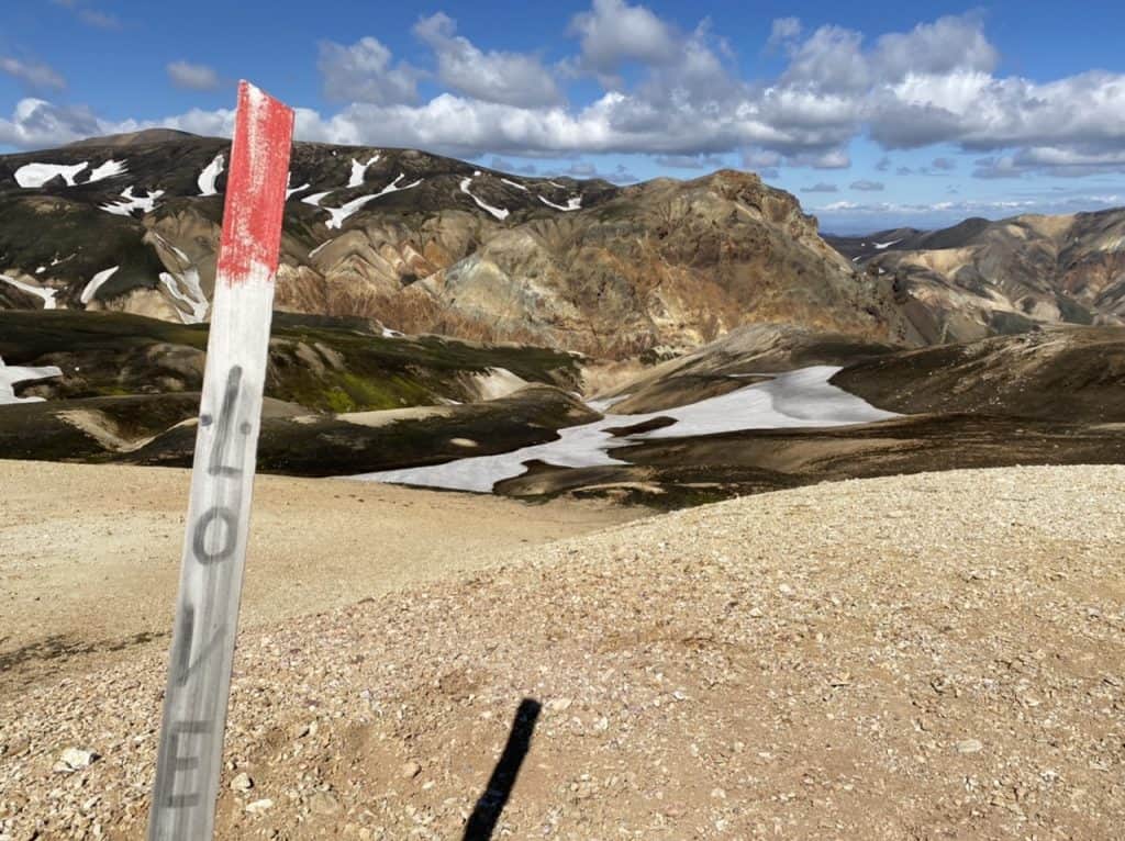
First, I have to cross some snow fields and hope that the fog does not continue. But when the sun increases in strength, it disappears in no time. It is another bright day with some beautiful, Dutch-looking clouds.
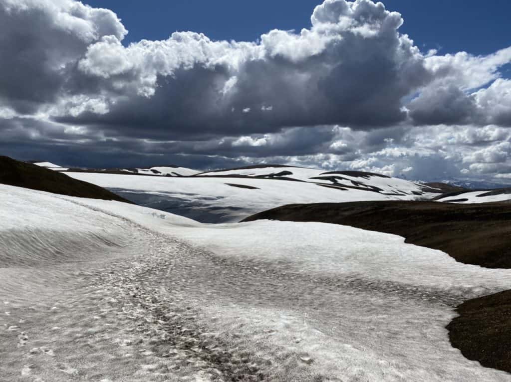
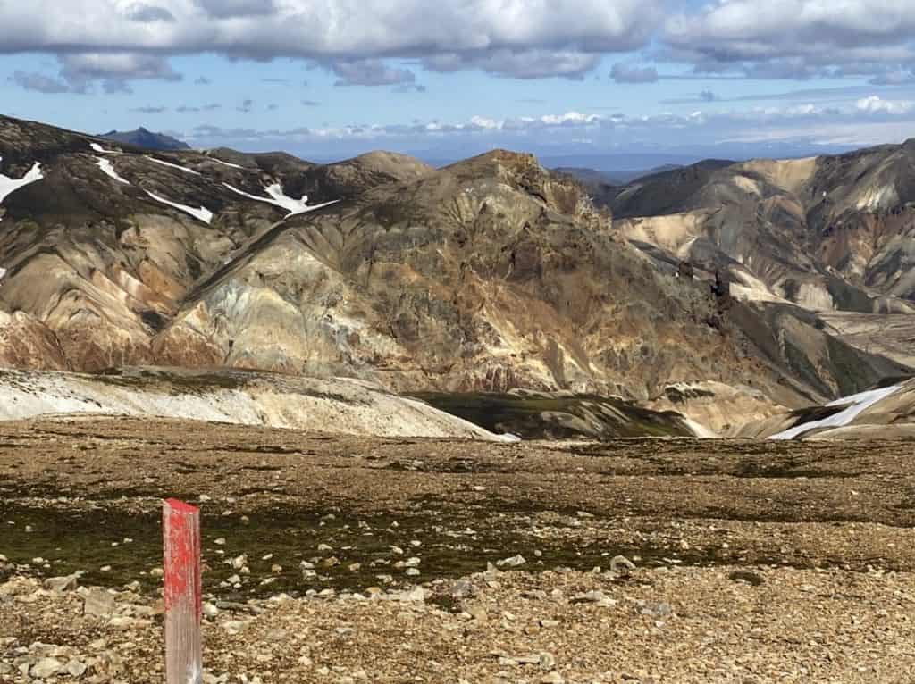
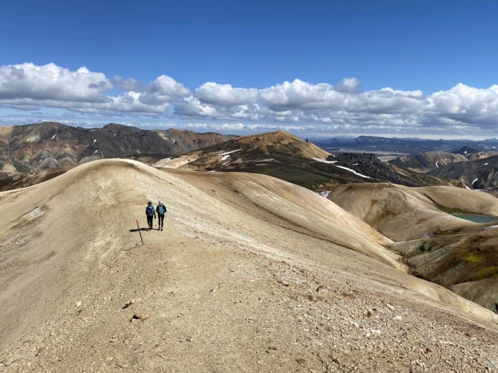
The path continues over the rolling colored mountains and it is a lot of fun today. Boy, Iceland, you are so special and beautiful. Sometimes pictures say more than 1000 words, they say. Yet, despite the beautiful pictures, you really have to see and experience this for yourself, I think.
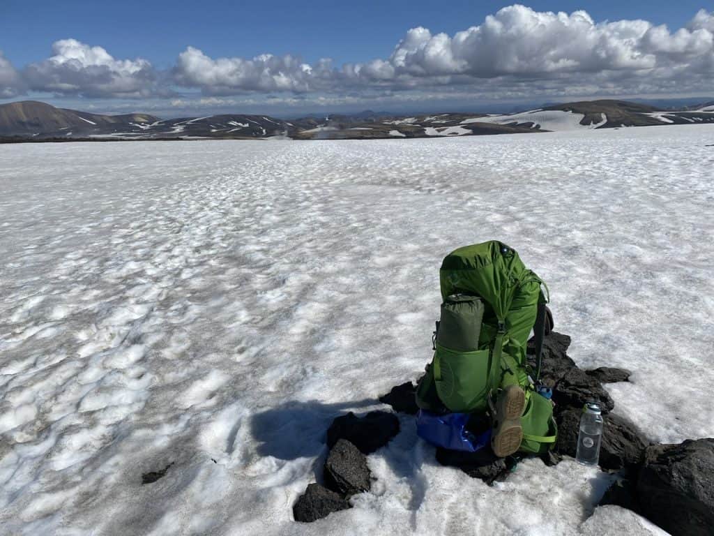
The last kilometers are busier than I expected. It is mainly the Icelanders who are now (re)discovering their own country. The GPS indicates that I have covered 79.9 km with an elevation gain of 2700 metres. All this with a quite heavy backpack – which, especially in the beginning with all the food, weighed about 18 kg.
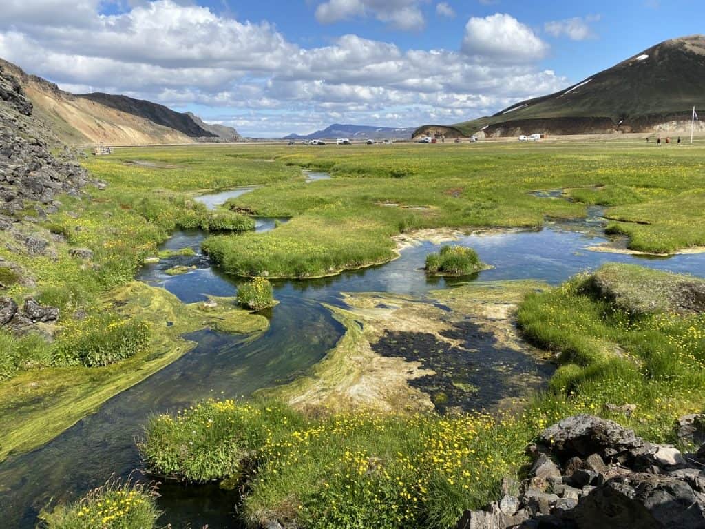
There is a river into which a hot spring flows In Landmannalaugar. It is a wonderful place to relax. Whether you start or finish as in my case.
Thanks for reading this blog. We offer this trip in the opposite direction with luggage transport and a little more luxury than I had.